Local News
Toronto, GTA set to receive up to 10 cm of snow this weekend
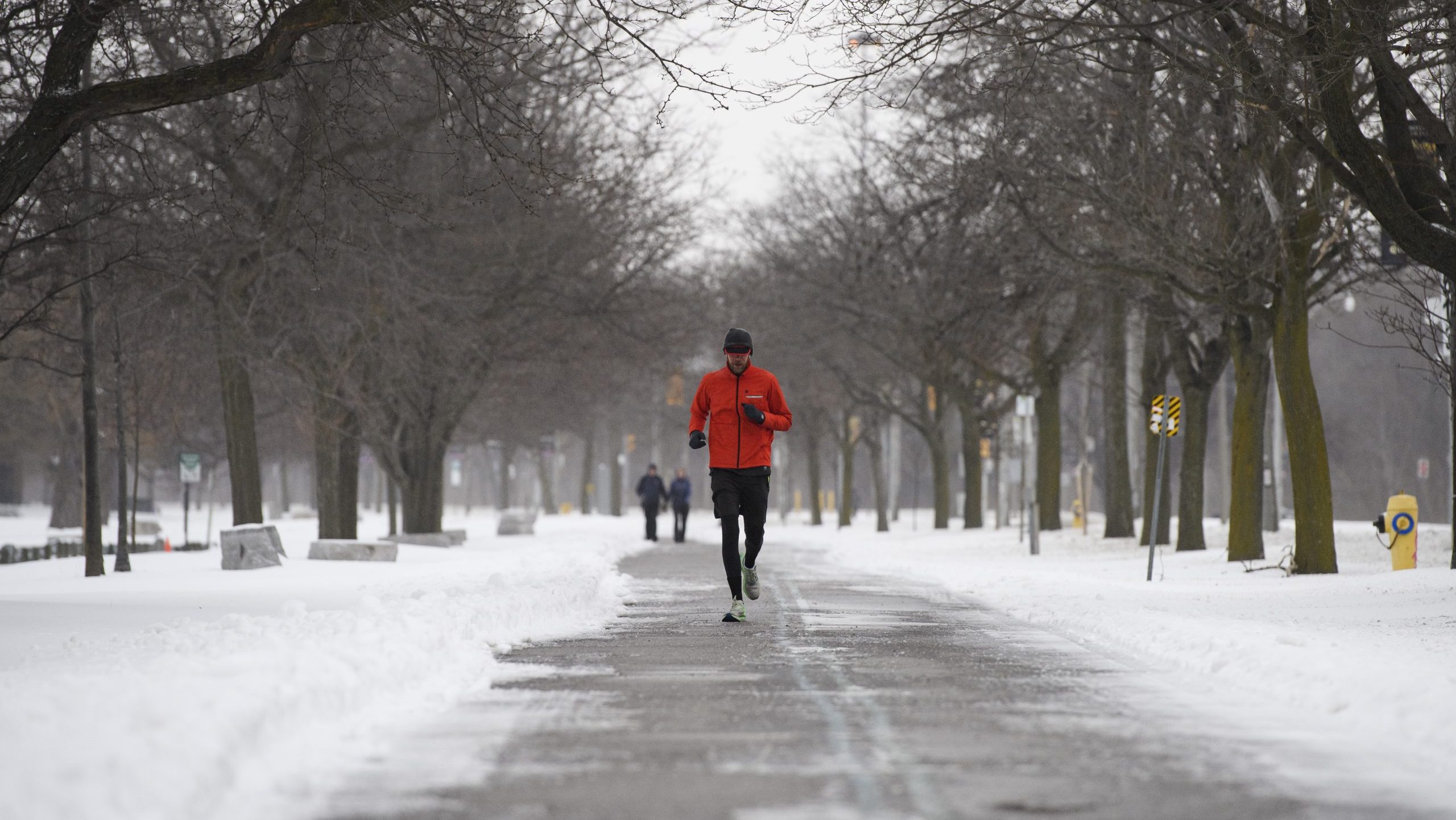
Southern Ontario is about to get yet another taste of winter with a system set to bring 5 to 10 cm of snow to Toronto and the GTA on Saturday.
A Colorado low is set to sweep through the region, bringing fresh snowfall from Windsor to Toronto and extending into cottage country.
Snow is expected to start in southwestern Ontario on Saturday afternoon before gradually making its way into the GTA by the evening.
For Toronto, flurries are forecasted to begin around 3 p.m. before transitioning to light snow by the evening. Snowfall will be heaviest by 9 p.m. before tapering off early Sunday morning. Around 5 cm of snow is possible in the southwest portion of the province, including Windsor.
Mississauga, Brampton, Burlington and Oakville are among other regions that could see up to 10 cm of snow by early Sunday.
The good news is the cold temperatures will keep the snow light with a forecasted daytime high of -4 C in Toronto on Saturday, though it will feel more like -10 with the wind chill. The cold will stick around on Sunday, with a chance of flurries in the city.
As for Friday, there are several parts of the province under various weather advisories and snow squall warnings, including Barrie, Innisfil, Bracebridge, Orillia and Owen Sound, among others.
Environment Canada says 10 to 20 cm of snow is possible in these areas, as lake effect snow squalls off Lake Huron and Georgian Bay are expected. Conditions are forecast to improve this evening.
Click here to sign up for the The Leader Spirit Weather Guarantee and for details on the extended forecast.