Local News
Mid-week winter storm with heavy snow, possible freezing rain heading to Toronto: Environment Canada
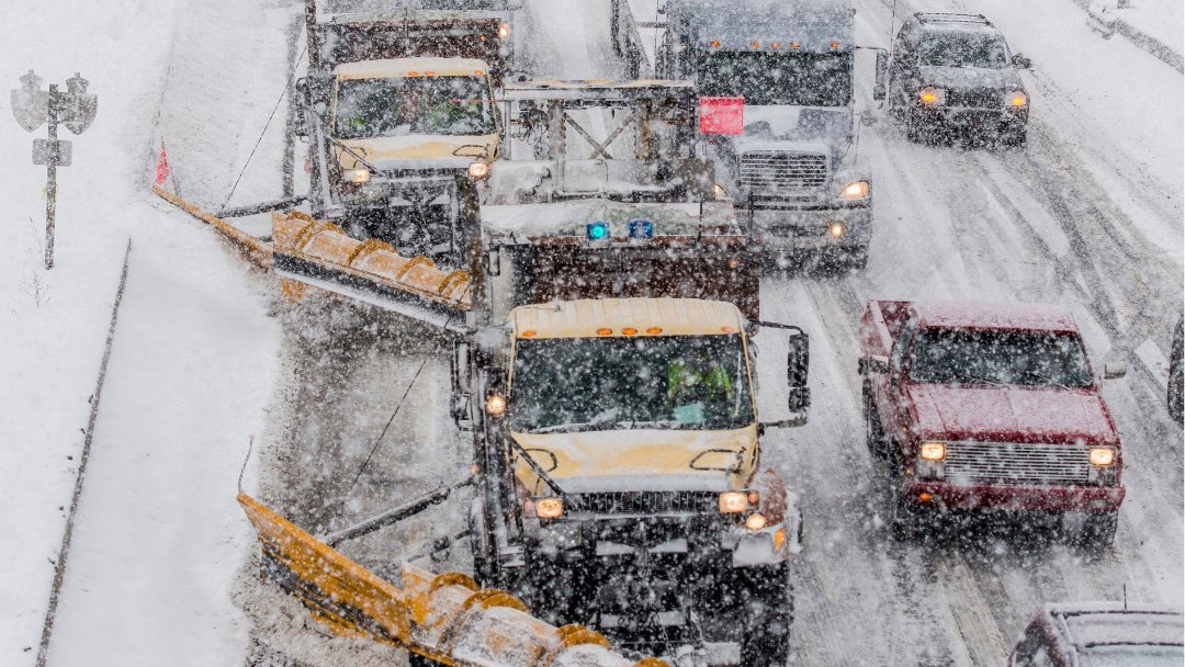
Just after digging out from the biggest snowfall of the season on Saturday, Toronto is bracing for another rough round of winter weather.
Environment Canada has issued a special weather statement for Toronto and surrounding regions, warning of heavy snow and possible freezing rain.
The system will move into the area on Wednesday night and stick around into Thursday, with snowfall amounts exceeding 15 centimetres possible.
The agency also warns of poor visibility from heavy and blowing snow that could later transition into freezing rain.
“Confidence in the exact track of the low pressure system is uncertain at this point, but it is likely that snow will transition to freezing rain or rain late Wednesday night or Thursday morning,” Environment Canada says.
“If the track of the low pressure system shifts farther south, precipitation will remain predominantly snow, and significantly higher amounts will be possible. Regardless of the track of the weather system, hazardous travel conditions are likely Wednesday evening into Thursday morning. Motorists are urged to consider postponing non-essential travel until conditions improve.”
Toronto was blasted with the heaviest snowfall of the season on Saturday, with 13 centimetres falling downtown, and 15 centimetres recorded at Pearson International Airport — the most this winter.
Saturday’s storm impacted travel on the roads and the sky, with dozens off TTC bus routes out of service and numerous flights at Pearson cancelled or delayed.