Local News
Arctic outflow continuing into Sunday
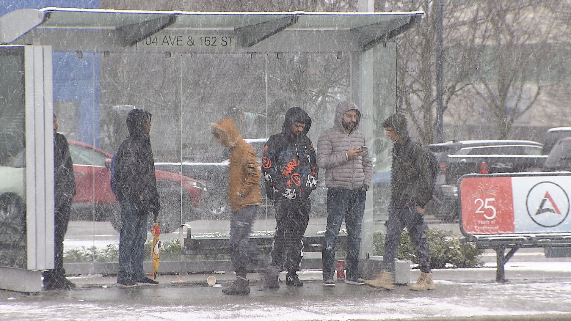
It isn’t clear exactly when Metro Vancouver will see relief from the bitter cold this weekend, but it’s not time to put away your parkas just yet.
Temperatures warmed up slightly Saturday compared to a day before, but strong outflow winds combined with arctic air have extended Environment Canada’s extreme weather warning at least through Sunday afternoon.
“The cold wind chill has moderated slightly this afternoon but still remain near -15 C to -20 C through Sunday morning,” the weather service said in an alert Saturday afternoon. “For central and eastern Fraser Valley, wind chill values of near -20 C to -30 C are expected through Sunday afternoon.”
Forecasters continue to warn that frostbite and hypothermia can occur within minutes of skin being exposed to the air.
They suggest anyone venturing outside dress warmly in layers and stay dry.
This week’s arctic outflow brought with it snow and frigid conditions to B.C., toppling dozens of temperature records across the province.
The Leader Spirit Meteorologist Michael Kuss says new records, though not official, were set in several areas around B.C. over the past week, including the Lower Mainland.
“At YVR, Pitt Meadows, Abbotsford, Agassiz, Vancouver Island, around the capital region and central island too, as morning lows were between -11°C and -16°C, even along the coast,” he said Friday.
“Inland, on the other side of the coast range, we’re talking about -30s and below.”
With files from Hana Mae Nassar.