Local News
Lower Mainland has taste of winter ahead of powerful windstorm

The Lower Mainland’s first taste of West Coast wintry weather was over the weekend, with a significant snowfall on the North Shore ski hills and mountain highways.
1130 NewsRadio meteorologist Michael Kuss explains that the Metro Vancouver ski resorts and the Sea to Sky region saw 25 to 35 centimetres of snow since early Saturday.
“Arctic air has been mixing with warmer Pacific moist air along the coast and that’s created cool unstable winter-like conditions for the South Coast,” he explained.
“Even slushy conditions for parts of the Lower Mainland on the weekend, with thunderstorms last evening and again this morning,” Kuss explained.
While the region may see another round of wet snow late Monday into Tuesday, the bigger story, Kuss explains, is a developing storm system.
“This could be a ‘weather bomb’, which is a low-pressure system that’s central pressure drops by at least 24 millibars in 24 hours,” Kuss said.
Environment and Climate Change Canada has already issued a special weather statement for that developing storm, Kuss says, as it tracks toward Vancouver Island and B.C.’s South Coast.
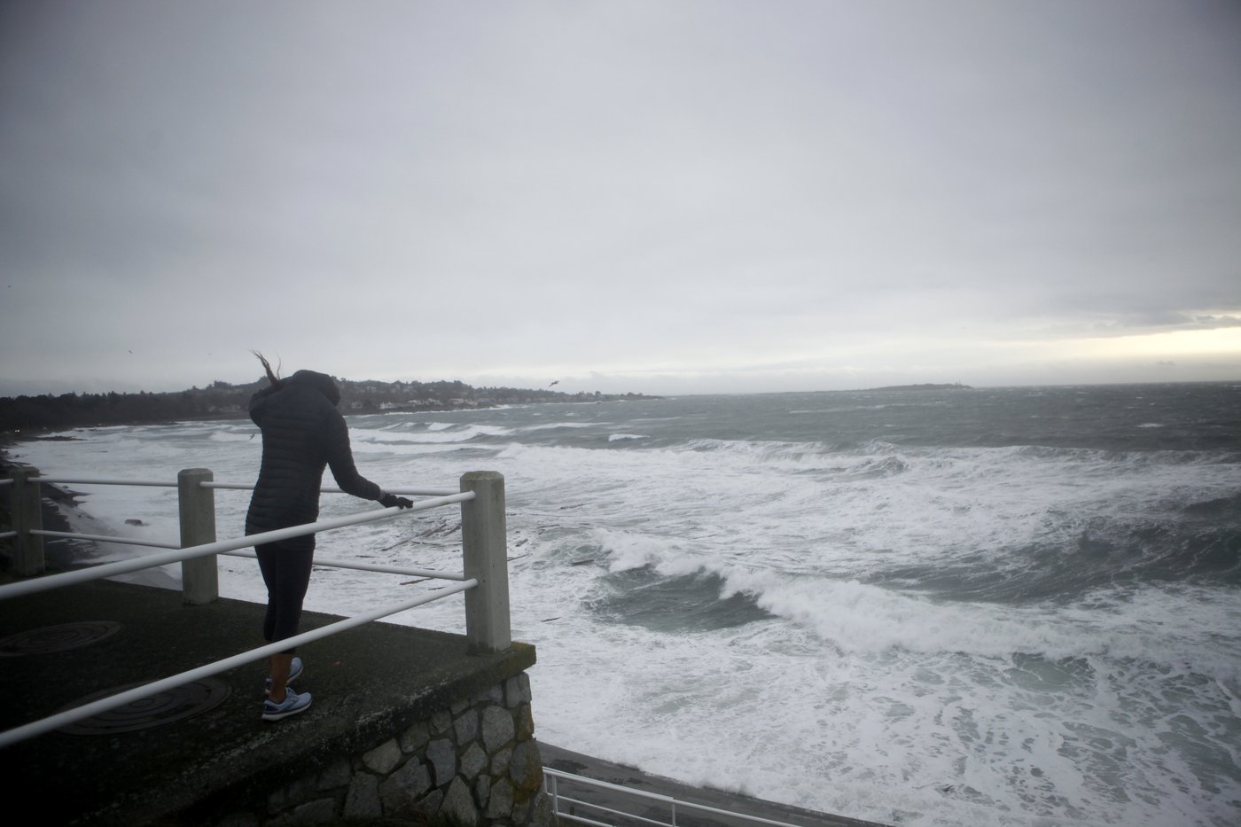
“Winds could become incredibly strong across southwestern B.C. late Tuesday into Wednesday morning with the core of the low getting close to the west side of Vancouver Island. Winds could top 100 km/h in exposed areas,” he said.
“It’s a transitional time of year. Sometimes it doesn’t show up until the middle of December, but it’s here now with arctic air filtering in,” Kuss shared.
According to ECCC, peak winds are expected to hit the region Tuesday night.
(Courtesy Environment and Climate Change Canada)
“A significant fall storm is set to impact Vancouver Island beginning on Tuesday. An area of low pressure will deepen rapidly some 400 kms west of Vancouver Island on Tuesday. This low is forecast to then curl northwards on Wednesday, remaining offshore through the period,” the weather service said.
“Coastal areas will see southeasterly winds increase through the afternoon on Tuesday, with peak wind speeds expected for most areas on Tuesday night. Strong winds are likely to continue on Wednesday morning but should ease later in the day,” it continued.
ECCC believes that while some areas will see heavy rain at times, winds will remain the “primary concern.”
The weather service is warning of trees and branches breaking due to the winds and is urging people in the region to prepare for power outages.
“Travel delays will be possible. Secure loose outdoor objects,” it continued.


