Local News
Metro Vancouver under rainfall warning, snow at higher elevations
Don’t let the sunny start to the week fool you.
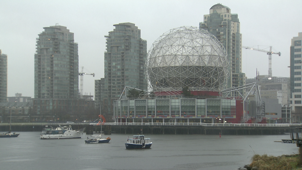
Metro Vancouver is about to turn back into its wet and soggy self.
Environment Canada has issued a rainfall warning for the region, with forecasters saying the fast-moving system could bring 40 to 70 millimetres of rain by Tuesday, with snow at higher elevations.
The weather agency says a strong frontal system is expected to arrive Monday evening, with rain beginning late or shortly after midnight.
Rainfall is forecast to intensify by Tuesday morning and continue into the afternoon.
Environment Canada says upslope areas around the North Shore mountains could see 50 to 70 millimetres of rain, while central parts of Metro Vancouver are expected to receive 30 to 40 millimetres.
“I do think there is the potential — just because of how much moisture this system is bringing in — totals could be close to 100 millimetres by the time this system is all done, especially up against the mountains,” said 1130 NewsRadio Meteorologist Carl Lam from the Penfolds Roofing and Solar Weather Centre.
At higher elevations, rain is expected to turn to snow.
Environment Canada says Burnaby Mountain and the Upper Levels Highway could see a few centimetres of accumulating snow, while snowfall over the North Shore mountains is expected to be “significant.”
The shift is good news for local ski hills, with Grouse Mountain preparing for as much as 30 centimetres of fresh snowfall by Tuesday, but drivers are being urged to prepare for winter-like conditions at elevation.
The rainfall warning comes after Environment Canada lifted a special weather statement related to flooding and high tides across parts of the South Coast.
That earlier bulletin covered much of the Vancouver Island coastline, the Sunshine Coast, and Metro Vancouver, warning of possible flooding as high tides combined with a low-pressure system.
According to Environment Canada data, tide levels peaked at around 5.4 metres on Sunday morning.
That’s not far below the station’s all-time recorded high of 5.75 metres, set on Dec. 27, 2022.
Forecasters say residents should be prepared for wet roads, reduced visibility, and rapidly changing conditions — particularly overnight and during the Tuesday morning commute.